


The City of Helsinki is one of Europe’s most advanced urban ecosystems — and managing its vast spatial data requires equally advanced technology.
To meet this challenge, the city adopted Louhi, a cloud-based GIS platform we are developing in close cooperation with our Finnish partner Sitowise.
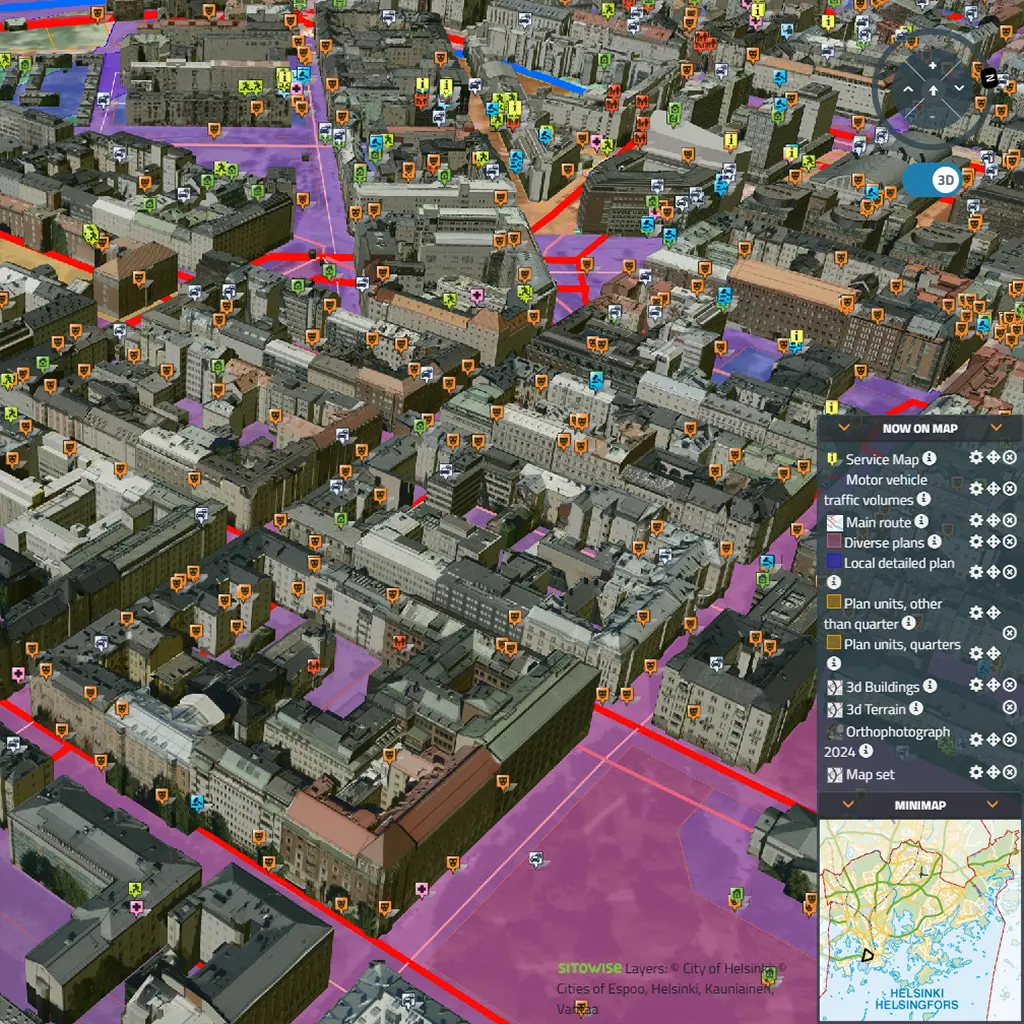
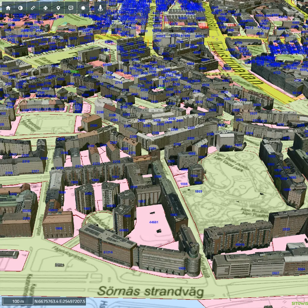
Louhi integrates thousands of data layers to support urban planning, infrastructure management, and Smart City initiatives.
As the city expanded, so did the complexity of its spatial data.
Information was dispersed across departments and systems, making it difficult to share, analyze, and maintain consistency.
Helsinki needed a unified, scalable GIS environment that could handle growing volumes of geospatial, 3D, and BIM data, while ensuring security, accuracy, and accessibility for all stakeholders.
Working as a long-term technology partner, we helped design and implement Louhi as a modular, cloud-native platform for geospatial data management.
The system integrates 2D, 3D, and BIM datasets, supports advanced spatial analytics, and enables real-time collaboration between city departments, institutions, and private partners.
Its SaaS architecture ensures flexibility and scalability — allowing the city to continuously expand the system as new data sources and requirements emerge.
Today, Louhi serves as the digital backbone of Helsinki’s urban management.
It has significantly accelerated planning and decision-making, reduced operational costs, and improved transparency across all city processes.
The platform’s success has led to its adoption by other major Finnish cities, including Vantaa and Espoo, setting a new standard for Smart City GIS solutions in Northern Europe.
To see it in action visit kartta.hel.fi
// See more projects in category
© 2022 Blare Technologies. All rights reserved. Privacy Policy